

A Little-Known Approach to Fleet Management Route Optimization
For municipal and public-sector fleets, a route is not just a line between stops. Every scheduled vehicle consumes road capacity, intersects peak traffic, crosses regulated or sensitive zones, and creates operational evidence that may need to stand up to later review. Treating fleet management route optimization as a simple dispatch calculation can therefore improve a sequence on screen while leaving the wider traffic and governance problem untouched.
In this article, we look at route optimization through a traffic-engineering lens: how municipal fleet management can connect fleet route management, peak-hour exposure, Geofences, multi-stop scheduling, GPS history, policy controls, and reporting. At Safee, we also show where our Journey Management System (JMS), Tours, Live Vehicle Tracking, Alarms and Alerts, Fleet Reporting, and Tracking Data Analyzer (TDA) fit into that workflow—without turning this into a dispatch-software or general route-optimization guide.
What fleet management route optimization means in traffic terms
In traffic terms, fleet management route optimization is the process of arranging fleet movements so that vehicles meet operational requirements while avoiding unnecessary distance, delay, waiting, route conflict, and poorly timed road exposure. Effective fleet management route planning therefore starts with operating constraints and service priorities, not with the shortest path alone. The objective is not automatically to find the mathematically shortest path. The operationally better route may be the one that:
- Reaches required stops inside the permitted service window;
- Avoids a corridor during a known peak period;
- Keeps a vehicle inside an approved operating area;
- Sequences stops more logically;
- Reduces repeated backtracking;
- Accommodates depot or facility operating hours;
- Respects vehicle or journey restrictions;
- Provides a practical response when the planned route changes;
- Remains measurable after the journey is completed.
This makes fleet route management a continuous process rather than a one-time routing calculation. Planning establishes the expected movement. Live tracking shows what is actually happening. Alerts identify meaningful deviations. Reporting allows managers to compare outcomes and improve the next planning cycle. At Safee, we connect this broader workflow through our Journey Management System (JMS), which supports journey planning, tracking, route optimization, journey restrictions, ETA calculation, and monitoring. We also support Tours, where depots, orders, fleet groups, vehicles, and multiple journeys can be managed within one planning environment.
Fleet management routing vs dispatch
Fleet management routing decides how a journey should be structured. Dispatch decides how that plan is released and executed. A routing workflow may determine:
- Which stops belong to the journey;
- The preferred sequence;
- Expected travel and service windows;
- The vehicle or fleet group that fits the work;
- Restricted or approved areas;
- Expected journey duration;
- Rules for route deviation;
- Contingency routes or escalation conditions.
Dispatch operates closer to execution. It answers questions such as: Which available vehicle should leave now? Which driver receives the task? Should an active assignment be changed? What happens when a vehicle is delayed? The distinction matters when evaluating route-management platforms. A dispatch screen can make task assignments faster without improving route design. A route optimizer can calculate an efficient sequence without giving operations enough real-time visibility once the vehicle leaves.
For dispatch-specific workflows, see our dispatch fleet management system guide; here, the focus remains route design, traffic exposure, and route control. Our platform separates these concerns while connecting them operationally. Live Vehicle Tracking provides real-time vehicle visibility, Alarms and Alerts can surface configured exceptions, and JMS supports journey planning and monitoring. For a municipal fleet, the buying question is therefore not simply, “Does the software calculate routes?” It is, “Can our team plan, release, monitor, investigate, and improve those routes within one controlled workflow?”
Why municipal fleet management needs a traffic-engineering lens
Private delivery fleets often optimize around orders and customer commitments. Municipal vehicles can also influence public-road conditions while performing services that cannot simply be postponed. Consider several vehicles operating in the same municipality:
- A waste collection vehicle completing a fixed service zone;
- A road-maintenance crew moving between work sites;
- An inspection vehicle visiting multiple facilities;
- A utility response unit handling an urgent call;
- An administrative vehicle making a lower-priority trip.
Sending all five according to the same routing logic ignores their different traffic and service roles. A traffic-engineering lens asks additional questions:
- Is the journey time-critical?
- Could the departure move outside the peak window?
- Does the route overlap another municipal route unnecessarily?
- Does the vehicle repeatedly cross congested corridors?
- Can low-priority stops be resequenced?
- Are vehicles waiting at the same depot, transfer point, or service facility?
- Does actual GPS history show recurring delay in the same location?
- Should a service zone or route corridor be represented through Geofences?
- Which deviations are operationally acceptable and which require intervention?
This is where a municipal routing platform needs to do more than display dots on a map. At Safee, we position our government fleet capabilities around live tracking, alerts, reporting, journey oversight, and operational accountability. Our government fleet management guide also connects route efficiency, out-of-zone activity, Geofence violations, trip records, and structured reporting with public-sector control.
If your municipality is evaluating routing beyond basic GPS tracking, request a Safee demo to map your routes, service zones, journey controls, alerts, and reporting requirements around the way your fleet actually operates.
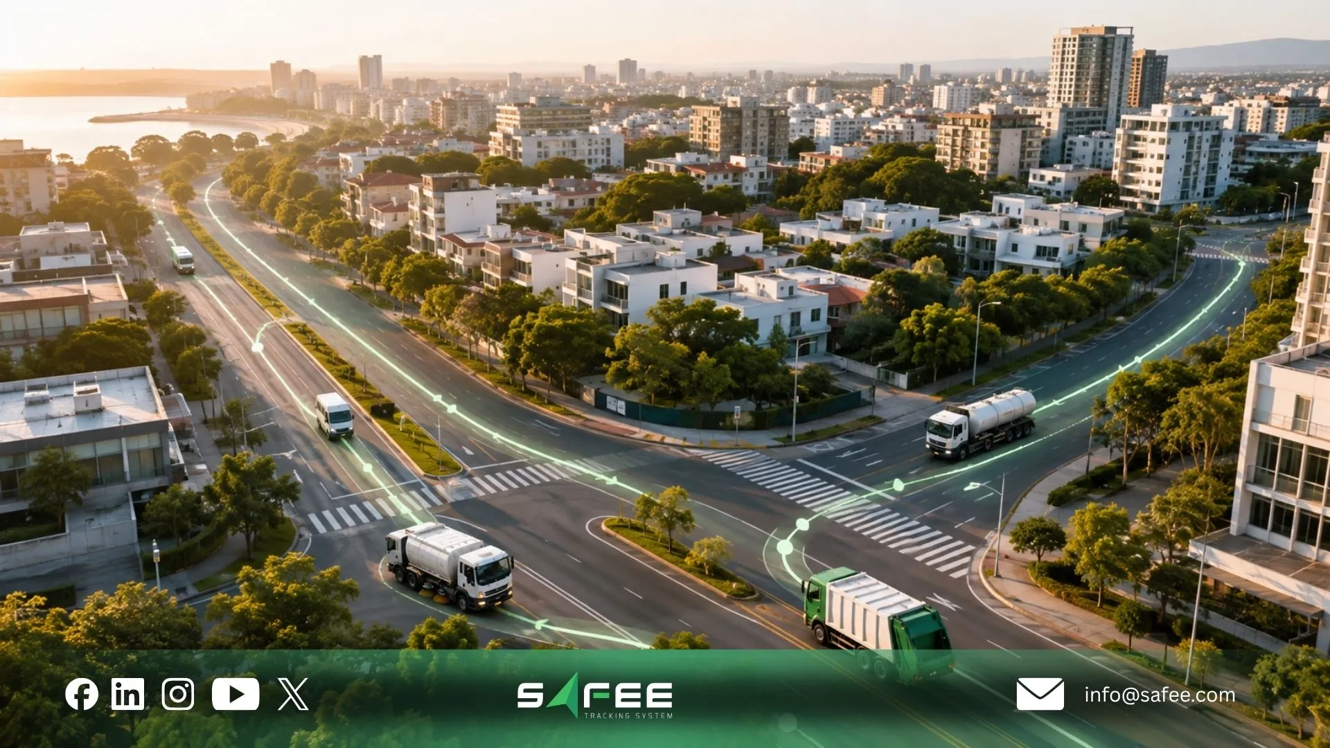
Municipal fleet management for routing as public infrastructure
Municipal routing affects more than fleet productivity. Public vehicles operate inside the same network used by residents, commercial traffic, public transport, emergency services, contractors, and other government departments. That makes routing part of operational infrastructure. A municipal fleet should therefore distinguish between:
- Service demand: What work must be completed;
- Network exposure: Where and when vehicles need road capacity;
- Fleet capacity: Which vehicles and drivers can perform the work;
- Policy constraints: Where vehicles may operate and under which conditions;
- Operational evidence: How management proves what actually happened.
The result is a different definition of route efficiency. Fewer kilometers may be useful, but not if the route creates missed services, poorly timed arrivals, repeated congestion exposure, unauthorized movements, or weak auditability.
Municipal fleet management best practices for route planning
Useful municipal fleet management best practices begin with segmenting the operation instead of forcing every department into one routing template. The same requirement should shape how municipal fleet management software is configured: departments may share a platform, but they should not be forced into identical route rules. A practical municipal route-planning model includes the following.
Classify journeys by operational priority. Emergency support, fixed public services, inspection work, maintenance calls, administrative movement, and recurring collection routes should not all compete under the same priority logic. Separate fixed and flexible stops. Some locations must be visited at a specific time. Others can be moved to another part of the shift. This distinction creates the flexibility needed to reduce unnecessary peak-period movement. Design around depots and service zones. Review where vehicles start, where they repeatedly return, and where handoffs or disposal/service activities occur.
A route that looks efficient between customer or service stops can still perform poorly if depot movement is ignored. Use actual fleet history. Compare planned routes with trip history, stops, idling, route deviations, and recurring delay locations. Our Live Vehicle Tracking provides current and historical vehicle context, while Fleet Reporting supports filtering and recurring review. Define Geofences around meaningful operating areas. These can represent depots, service districts, facilities, restricted locations, customer or citizen service areas, or route-related control zones. Assign exception ownership. A route-deviation alert is useful only when someone is responsible for reviewing it and knows when intervention is required.
Review routes by comparable operating context. Do not compare a heavy service truck with an inspection car simply because both are municipal assets. Compare similar vehicles, shifts, routes, loads, depots, or duty cycles. The same principle applies when evaluating routing platforms: the strongest fit is not necessarily the product with the most routing features. It is the system that can represent the municipality’s actual operating rules and give the appropriate users enough evidence to manage exceptions.
Fleet management policy for municipalities and what the rulebook controls
A fleet management policy for municipalities should establish the rules around vehicle use; the software should help operations turn supported parts of those rules into observable workflows.
In our fleet management policy guide, we make the same operational distinction: policy defines what should happen, while tools such as Live Vehicle Tracking, Driver Management, Alarms and Alerts, Maintenance Module, Journey Management System, Fleet Reporting, and Tracking Data Analyzer can help teams monitor supported data, identify exceptions, assign responsibility, and preserve records for review. For routing, a municipal policy may need to define:
- Approved vehicle-use purposes;
- Departments or users authorized to create journeys;
- Service-zone boundaries;
- Route approval requirements;
- Restricted areas;
- Permitted operating windows;
- Rules for after-hours movement;
- Response to route deviation;
- Stop and dwell expectations;
- Driver-to-vehicle assignment;
- Escalation responsibilities;
- Reporting and review cadence;
- Access permissions;
- Retention requirements determined by the relevant authority.
The last item is important: the software should not be assumed to determine the municipality’s legal retention requirement or local traffic rule automatically. Those requirements must be validated for the relevant jurisdiction and then reflected in the operating configuration where the platform supports them.
Key variables that should be confirmed before configuring municipal route policy:
- Municipality and jurisdiction;
- Vehicle and service types;
- Fixed versus flexible routes;
- Restricted roads or zones;
- Peak-hour or time-of-day restrictions;
- Emergency exemptions;
- Depot and facility operating hours;
- Driver and vehicle eligibility rules;
- Reporting obligations;
- Required integrations with municipal systems.
Practical comparison framework Evaluate each proposed control through four questions:
- Rule: What does municipal policy require?
- Data: Which vehicle, driver, GPS, journey, Geofence, or scheduling data proves whether it happened?
- Action: Who reviews an exception and what should they do?
- Record: Which report or event history must remain available for operational or governance review?
Questions to ask the provider
- Can different departments operate under different route rules?
- Can users create customizable Geofences?
- Can entry, exit, and route-deviation events generate alerts?
- Can journey restrictions and approval workflows be configured?
- Can access be segmented by user role, department, site, or fleet group?
- Can planned and actual journey activity be reviewed together?
- What route and trip history is available for the required review period?
- Which reports can be filtered and scheduled?
- Which municipal systems can exchange data with the platform?
- Which local compliance requirements must be configured by the municipality rather than supplied by the software?
We document customizable Geofences, route-related alerts, Journey Management workflows, configurable reporting, and structured user/permission controls across our fleet environment. The exact municipal setup should still be validated during implementation. CTA: Contact Safee to review your municipality’s route-policy requirements before configuration, including Geofences, journey approvals, route exceptions, reporting ownership, and integration needs.
GPS fleet tracking route optimization for measuring congestion impact
GPS fleet tracking route optimization becomes more useful when GPS history is treated as measurement data instead of only location evidence. A municipal fleet does not need to claim that every delay is “traffic.” It can start with measurable operational observations:
- Elapsed journey time;
- Distance traveled;
- Repeated stationary periods;
- Stop duration;
- Route deviation;
- Arrival and departure times;
- Recurring slow segments;
- Depot waiting;
- Differences between peak and off-peak journeys;
- Differences between planned and actual movement.
This creates a disciplined route-improvement loop. First, establish a baseline using comparable routes, vehicles, shifts, or service zones. Next, identify repeated delay patterns. Then change one controllable variable—for example departure window, stop sequence, service-zone assignment, or approved route—and measure the next period against the same baseline.
Our Fleet Reporting can filter and schedule fleet reports, while Tracking Data Analyzer (TDA) is designed for deeper dashboards, filtering, grouping, aggregation, and historical fleet analysis. These tools can support investigation of recurring operational patterns without claiming that Safee provides a dedicated municipal congestion-impact dashboard.
For teams comparing the best fleet management route optimization software or fleet management software with route optimization, this distinction matters: a traffic-impact conclusion should come from the municipality’s own defined baseline and operating data, not from a generic software marketing metric.
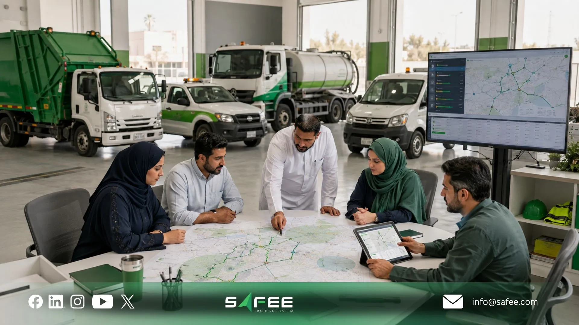
Fleet management route planning around peaks, geofences, stops
Strong route planning converts traffic conditions and operating requirements into constraints that the route process can use. Three variables deserve particular attention: time, geography, and stop structure. Time determines whether a route overlaps a peak window, facility opening period, driver shift, customer window, or another operational constraint. Geography determines where vehicles are expected or permitted to operate.
Stops determine the sequence and workload of the journey. A route with many short stops behaves differently from a long corridor movement even if the total distance is similar. Our Last Mile Delivery capability documents route optimization using factors including traffic patterns, delivery windows, order priority, driver availability, and vehicle capacity. Our JMS supports broader journey planning and optimization, while our Tours workflow can organize multiple journeys across several vehicles using depots, orders, and fleet groups.
Fleet management geofencing for regulatory zones vs operational zones
- Fleet management geofencing uses virtual geographic boundaries to make location rules visible to the fleet team. At Safee, we use Geofencing operationally through GPS-based virtual boundaries and alerts when vehicles enter or exit configured areas. For municipal route planning, it is useful to separate two governance concepts.
- Regulatory zones represent boundaries created because an external rule applies. Depending on the municipality, that could include a restricted road, controlled district, environmental zone, permit area, protected site, or another jurisdiction-defined restriction. These should not be assumed to come preloaded in Safee. The responsible authority must identify the applicable rule and determine how it should be represented in the fleet configuration. Operational zones are created by the fleet itself to control work. Examples include:
- Depot boundaries;
- Waste collection districts;
- Inspection territories;
- Utility service zones;
- Maintenance areas;
- Approved customer or facility locations;
- Restricted internal sites;
- Route corridors.
This distinction is one of the more important geofencing and fleet management governance practices. A Geofence can show that a vehicle crossed a boundary, but the fleet policy must determine whether that event was expected, tolerated, prohibited, or subject to review.
A practical rule for geofencing in fleet management best practices is therefore: never create a zone without also defining its purpose, event type, owner, response, and reporting requirement. Our Alarms and Alerts module can then surface configured Geofence and route-related exceptions to the users responsible for reviewing them.
Fleet management scheduling for multi-stop and long-haul
Fleet management scheduling should reflect the type of journey rather than applying the same logic to every vehicle. For multi-stop service work, planning normally focuses on:
- Depot departure;
- Stop sequence;
- Service windows;
- Vehicle capacity;
- Driver availability;
- Priority orders or assignments;
- Expected arrival times;
- Missed-stop recovery;
- Return-to-depot requirements.
Our Tours workflow is directly relevant here. We describe a Tour as a complete delivery plan that can contain multiple journeys across several vehicles. Using depots, orders, and fleet groups, the platform can generate optimized journeys, assign tasks, and calculate expected times. Long-haul planning requires a different operating model. The fleet may need to consider:
- Approved corridors;
- Planned rest or service stops;
- Refueling locations;
- Remote or low-coverage areas;
- Customer or facility arrival windows;
- Route-deviation controls;
- Communications expectations;
- Post-journey review.
We use JMS for route planning and journey monitoring and SatComm for remote or low-coverage operations, including long-haul routes where traditional network connectivity may be insufficient.
For buyers searching for fleet management software multi-stop routes or fleet management software long-haul local routes, the evaluation should therefore focus on whether one operating environment can represent both workflows without pretending that they require identical route logic.
The same applies when comparing top software for fleet management and scheduling or broader fleet and route management software: test actual stop structures, vehicle groups, journey restrictions, connectivity conditions, alert workflows, and reporting requirements instead of relying only on a route-map demonstration.
15 checks before you automate fleet management route planning
Before automating route planning, verify the operating model first. Automating weak assumptions only creates weak routes faster.
- Define the service objective. Decide what each route is designed to achieve: scheduled collection, inspection coverage, delivery completion, public works response, utility service, or another measurable task.
- Separate fixed stops from flexible stops. Identify locations with mandatory service windows and those that can move within the schedule.
- Segment vehicles by operating role. Do not give every municipal vehicle the same routing rules. Vehicle size, duty cycle, equipment, service type, and operating area can all change route suitability.
- Map depots and operational facilities. Include yards, transfer points, workshops, disposal locations, warehouses, offices, and recurring service facilities that affect actual journey time.
- Define approved and restricted areas. Determine which Geofences represent depots, service zones, controlled areas, route corridors, or locally regulated boundaries.
- Identify peak-sensitive journeys. Decide which routes can shift outside high-demand road periods and which public services cannot.
- Validate journey restrictions. Review route, vehicle, driver, site, safety, and operational conditions that must be satisfied before a journey is released.
- Confirm multi-stop sequencing requirements. Determine whether stop priority, operating windows, vehicle capacity, driver availability, or other constraints should influence the sequence.
- Separate local and long-haul workflows. Local stop density and long-distance corridor movement require different monitoring and exception logic.
- Define route-deviation tolerance. Decide when an alternate road is acceptable and when a deviation needs investigation.
- Assign alert ownership. Every important route or Geofence alert needs an owner, response expectation, escalation path, and closure process.
- Confirm GPS and connectivity coverage. Route automation should not assume continuous communications in environments where coverage is limited. Review alternative connectivity requirements where relevant.
- Build the reporting baseline. Decide which metrics will be compared before and after route changes: travel time, stop duration, distance, route deviation, service completion, idle activity, or other relevant fleet indicators.
- Test with real routes before scaling. Pilot the workflow using representative vehicles, users, service zones, shifts, stops, and known exceptions.
- Create a route-review cadence. Routing should be recalibrated when service demand, traffic exposure, depots, vehicle classes, policies, or operating conditions change.
These checks also provide a practical procurement test for fleet route tracking software and route-planning platforms. Ask the provider to demonstrate the workflow from planning through monitoring and reporting—not simply the route calculation screen.
Planning a multi-stop, municipal, or mixed local/long-haul deployment? Talk to our experts about configuring JMS, Tours, Geofences, alerts, Live Vehicle Tracking, and reporting around your real journey structure.
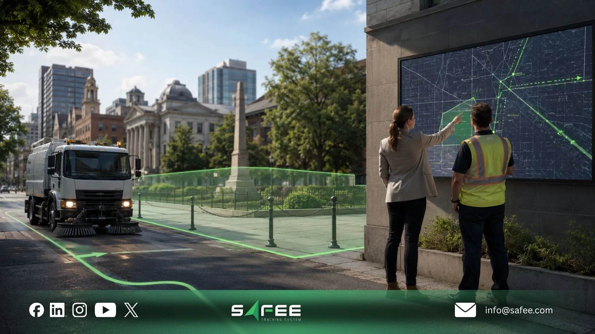
Safee for municipal fleet management and multi-stop routing
For municipal fleet management, we do not claim that one algorithm automatically solves city congestion. Our value is the ability to connect multiple parts of the route-control workflow. At Safee, we provide:
- Journey Management System (JMS) for planning, monitoring, route optimization, journey restrictions, and journey oversight;
- Tours for multi-journey and multi-vehicle planning using depots, orders, and fleet groups;
- Live Vehicle Tracking for real-time and historical movement visibility;
- Geofences for geographic control and event monitoring;
- Alarms and Alerts for configured fleet exceptions;
- Fleet Reporting for customizable and scheduled operational reports;
- Tracking Data Analyzer (TDA) for deeper analysis of fleet data and recurring patterns;
- Last Mile Delivery capabilities that can optimize routes using traffic patterns, delivery windows, order priority, driver availability, and vehicle capacity.
Together, these capabilities can support a municipality that needs more than a standalone route planner. Our Live Vehicle Tracking module connects planned-route oversight with live and historical fleet visibility.
Safee vs generic route planning software
| Capability | Generic Route Planner | Safee |
| Municipal / regulatory geofences | May allow manual geographic zones, but operational response and policy logic vary by product | Safee supports customizable Geofences and route/journey controls. Regulatory rules must be identified by the municipality and configured according to the applicable workflow |
| Peak-window constraints | May optimize distance or basic travel time without connecting routing to the wider fleet workflow | Safee’s Last Mile Delivery route optimization documents traffic patterns and delivery windows as planning inputs; applicability to a specific municipal workflow should be validated during configuration |
| Multi-stop + long-haul mix | Different route types may require separate planning or tracking workflows | JMS supports journey planning and optimization; Tours can manage multiple journeys and vehicles, while Safee also supports long-haul monitoring workflows and SatComm where appropriate |
| Policy enforcement | Route creation may operate separately from vehicle, driver, alert, and reporting controls | Safee can connect route/journey planning with Live Vehicle Tracking, Driver Management, Alarms and Alerts, permissions, and Fleet Reporting. The policy itself remains defined by the fleet organization |
| Congestion reporting | Often limited to routing estimates or traffic information | Safee does not need to be presented as having a dedicated municipal congestion-impact dashboard. GPS history, Fleet Reporting, and TDA can instead be used to compare route, time, stop, and fleet patterns against a municipality-defined baseline |
This is the more useful comparison for procurement teams. The issue is not whether a generic planner can draw a route. The issue is whether route planning remains connected to vehicles, journeys, users, alerts, operational zones, historical evidence, and management review.
How Safee helps municipal fleets cut peak-hour congestion
Reducing avoidable municipal fleet exposure during peak periods requires a measurement-and-control cycle rather than a single routing calculation. A municipality can structure that cycle as follows.
- Establish the baseline. Use representative trip history to compare travel time, distance, stationary activity, stops, route deviations, and operating windows across similar routes.
- Identify journeys with scheduling flexibility. Not every public-service journey can move outside the peak. Separate mandatory time-critical work from routes that can be advanced, delayed, consolidated, or resequenced.
- Map service and control zones. Use Geofences where geographic events matter operationally, then define who reviews entry, exit, or deviation events.
- Optimize the journey structure. Where the operational use case fits the supported workflow, apply JMS, Tours, or relevant Last Mile Delivery planning capabilities to improve route and stop sequencing.
- Monitor actual execution. Use Live Vehicle Tracking and configured Alarms and Alerts to determine whether planned journeys are being followed and where material exceptions occur.
- Review the outcome. Use Fleet Reporting for recurring reviews and Tracking Data Analyzer (TDA) when the team needs deeper comparison across routes, periods, vehicles, or operational groups.
- Change one operating rule and measure again. A route policy may need a new departure window, different stop sequence, alternative service-zone assignment, or revised Geofence/alert logic. Compare the next operating period with the established baseline before deciding whether the change should scale.
This is how fleet management route optimization becomes an operational improvement program rather than a one-time software feature. We provide the route, tracking, alerting, journey, and analytical components needed to support that process; the municipality still defines its service priorities, traffic policies, regulatory requirements, and success measures.
FAQs about fleet management route optimization
What are differences between route optimization vs dispatch software?
Route optimization determines how vehicles, stops, timing, and route constraints should be organized for an efficient journey. Dispatch software focuses more on assigning and releasing work to vehicles or drivers and managing execution. A complete fleet workflow may need both planning and dispatch visibility.
How does geofencing improve fleet route planning?
Geofencing improves fleet route planning by turning important geographic areas into measurable operating boundaries. Fleet teams can monitor entry, exit, route deviation, depot activity, or restricted-zone events and connect those events to alerts, policy review, and reporting.
Can one tool handle multi-stop and long-haul routes?
Yes, if the platform supports different journey structures rather than forcing both into identical routing logic. Our JMS supports journey planning and optimization, Tours supports multiple journeys and vehicles, and we also support long-haul monitoring and SatComm capabilities for relevant remote or low-coverage routes.
Do municipal fleets need different routing software?
Municipal fleets do not necessarily need an entirely separate routing product, but they do need software that can reflect public-service priorities, service zones, user permissions, route rules, Geofences, reporting, and operational accountability. The correct configuration should be based on the municipality’s policies and workflows rather than a generic commercial-delivery template.
Ready to improve your fleet operations?
Tell us what you would like to improve. A Safee specialist will reply by email.
Usually replies within one business day • No sales spam
Your details are used only to respond to your request. Privacy Policy