
Satellite Fleet Tracking: When Does Your Fleet Need Backup?
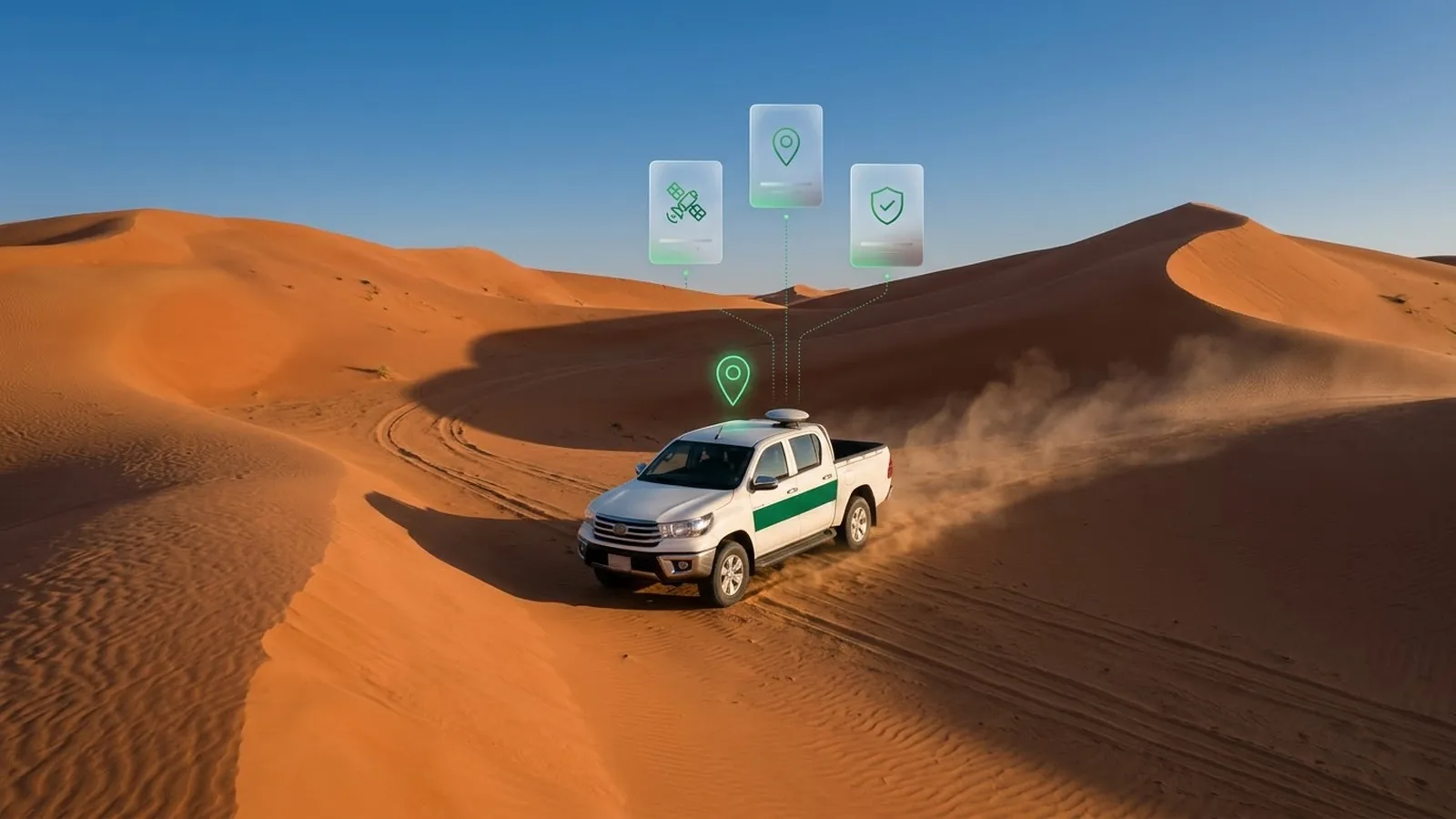
Satellite tracking for fleet management addresses a critical risk in remote fleet operations: when cellular coverage disappears, GPS trackers may still record vehicle positions, but control rooms lose live visibility and cellular-dependent emergency alerts.
Satellite backup provides an alternative communication path. This guide explains when fleets need it, how it works, and what Safee’s SatComm service supports.
Isn’t all GPS tracking already satellite tracking?
No. GPS uses navigation satellites to determine a vehicle’s position. Satellite fleet tracking uses a separate communications satellite network, such as Iridium, to transmit location data when cellular connectivity is unavailable.
The distinction matters because a tracker can know where a vehicle is while the control room has no current location data.
Finding the position vs. sending it
GPS satellites broadcast positioning signals that a tracker receives to calculate its location. The tracker does not transmit information back to those GPS satellites. As long as it can receive sufficient navigation signals, it can determine its position without mobile coverage.
To make that position available to fleet managers, the tracker must send it to the fleet management platform. Most trackers use cellular networks for this communication, while satellite-enabled devices can transmit location data through a communications satellite network when cellular coverage is unavailable.
Our guide to GPS tracking for fleet vehicles explains how positioning, communication, and fleet monitoring work together.
What a cellular tracker does when the signal drops
When cellular coverage disappears, a compatible tracker may continue recording positions and events in its internal memory. Once connectivity returns, it uploads those records so the fleet team can reconstruct the journey.
Stored records recover tracking history, not live visibility during the outage. Whether this recovery works depends on the device and its configuration.
On Safee’s platform, we distinguish between two relevant communication conditions:
- Delayed: Messages arrive at our platform more than two minutes after the device recorded them.
- Disconnected (Offline): We have received no messages from the device for longer than the configured offline threshold.
These conditions help fleet teams identify stale data, but neither provides the vehicle’s current location while communication remains unavailable. See our guide to offline fleet tracking for troubleshooting coverage gaps.
For a fleet that only needs completed journey records, storing and forwarding data may be sufficient. For oil and gas or remote-site operations, the requirement can be different: HSE teams may need to locate a vehicle or receive a driver’s emergency alert before it returns to coverage.
If an emergency button depends solely on cellular communication, its alert cannot reach the control room during a complete cellular outage.
This is where a compatible satellite backup becomes relevant. With our SatComm service, we support location requests and panic alerts through compatible satellite devices, subject to the selected hardware, service, and configuration.
Where does cellular coverage end in the GCC?
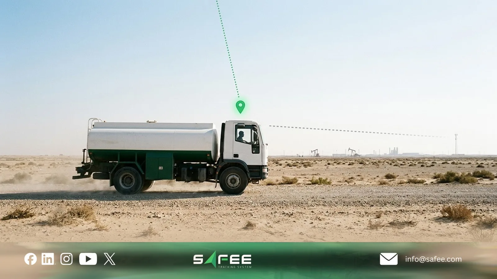
There is no single coverage boundary across the GCC. For fleet operators, what matters is whether their tracking devices can transmit data along the actual routes they use, including access roads and remote work sites.
Main roads vs. off-road routes in Saudi Arabia
Saudi Arabia’s CST Roads Index Report 2024 reported 99% mobile communication and broadband internet coverage on primary and secondary roads.
However, broadband coverage on primary roads differed by operator: 98% for STC, 94% for Mobily, and 82% for Zain.
These national figures do not guarantee connectivity along every fleet route. A tracker depends on the networks supported by its SIM and hardware, while the report does not measure access tracks to drilling sites, remote facilities, or desert operations.
Fleet managers should therefore check the coverage of their actual mobile provider along planned routes, particularly where vehicles leave public roads.
Oil fields, the Empty Quarter, and Oman’s interior
Remote operations present different connectivity challenges depending on their locations and routes:
- Oil and gas fields: Service vehicles travelling between drilling rigs, processing facilities, and remote camps may encounter coverage gaps on access roads. Our guide to oil and gas fleet management software addresses the wider HSE and journey-control requirements of these operations.
- The Empty Quarter: Long desert journeys require checking connectivity across the entire planned route, not just at departure and destination points.
- Oman’s interior: Coverage must be assessed on the routes linking remote work sites and inland facilities. Operators can consult the Telecommunications Regulatory Authority’s coverage map and verify conditions through field testing.
These locations are examples of where coverage verification matters, not evidence that every route lacks mobile service.
For oil and gas contractors, the decision also depends on client requirements. IVMS and journey management requirements do not automatically mean satellite communication is mandatory. Review the contract’s specific tracking, emergency alert, and communication requirements before selecting hardware.
Fleets most exposed to blind spots
Satellite backup is most relevant to fleets whose operations depend on timely location updates or emergency alerts beyond reliable cellular coverage:
- Oil and gas service fleets: Crew transport, maintenance vehicles, and fuel or water tankers serving remote facilities.
- Mining and construction fleets: Vehicles moving between isolated sites, haul roads, and work zones. Our guide to mining fleet management covers the wider monitoring and safety requirements.
- Cross-border transport fleets: Trucks travelling through remote sections of international routes, where operators must also verify roaming arrangements. See our guide to transportation fleet management in the GCC.
- Survey and telecom maintenance fleets: Teams travelling to isolated infrastructure sites where communication may be limited.
Not every vehicle in these fleets needs satellite backup. Start by identifying recurring communication gaps from tracking records, checking their locations against the actual routes, and determining how long each vehicle can safely remain without contact.
Prioritize vehicles operating where a missed location update or delayed emergency alert would create an unacceptable operational or HSE risk.
Also read: The role of asset tracking in fleet operations
Which satellite networks are used for vehicle tracking?
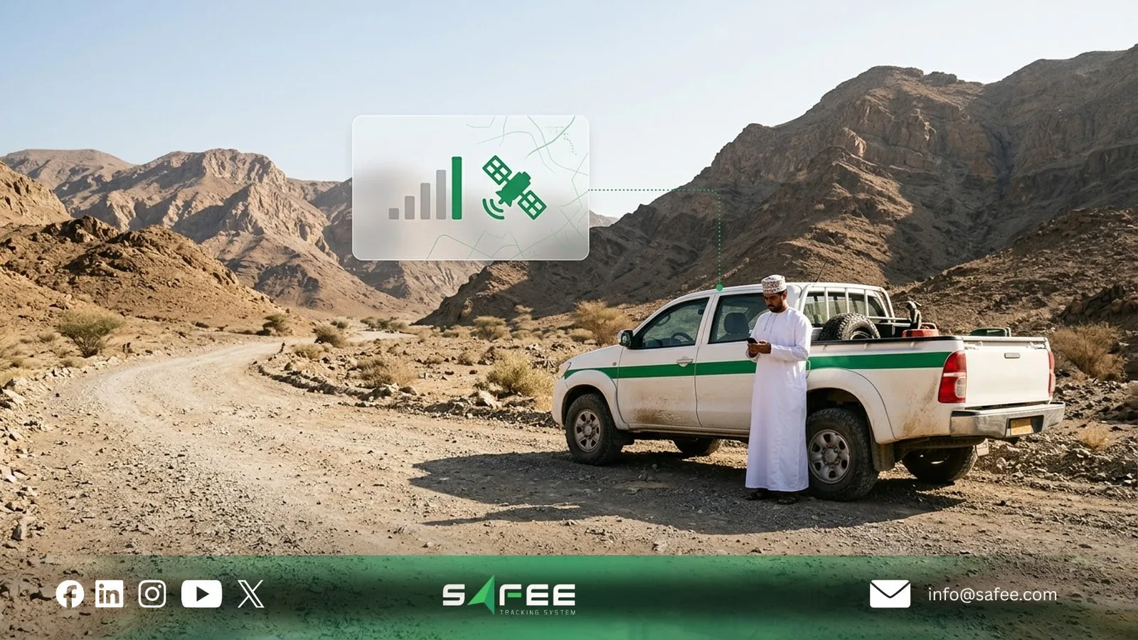
Satellite vehicle tracking services differ in coverage, supported devices, message capacity, and transmission performance. For GCC fleet managers, the priority is choosing a service that works across their operating routes and supports the location updates and safety alerts they need.
| Provider or service | How it works | What matters for GCC fleets |
|---|---|---|
| Iridium | Low Earth orbit (LEO) network with global coverage and Short Burst Data (SBD) messaging. | Suitable for remote and cross-border routes requiring short tracking messages and emergency alerts. Supported by Safee SatComm. |
| Viasat IoT Nano | Satellite IoT messaging over Viasat’s geostationary network, with support for larger data payloads. | Check terminal compatibility, antenna requirements, and service availability along operating routes. |
| ORBCOMM | Satellite IoT and hybrid cellular-satellite solutions, including the ST 9100, using satellite services such as those provided through Viasat. | Supports automatic cellular-to-satellite switching. Compatible ORBCOMM devices are supported by Safee SatComm. |
| Globalstar | LEO network that relies on terrestrial gateways to relay satellite communications. | Coverage varies by service and location. Verify the official coverage map and local service availability. |
| Thuraya | Regional geostationary satellite network offering dual-mode tracking through devices such as the T2M-DUAL. | Provides satellite and cellular tracking within its service footprint, subject to compatible equipment and coverage. |
Coverage alone should not determine your choice. Confirm that the selected device can transmit the required alerts, operates in your countries, and integrates with your fleet management platform.
Satellite-only and hybrid devices
The hardware configuration determines how your fleet uses satellite communication:
- Satellite-only devices: Transmit tracking data through satellite connectivity without relying on cellular coverage. Suitable for assets operating predominantly in remote locations.
- Hybrid devices: Combine cellular and satellite communication in one unit. For example, ORBCOMM’s ST 9100 can automatically switch to satellite when cellular connectivity is unavailable.
- Secondary satellite devices: Add satellite communication alongside a compatible cellular tracker. For example, supported Teltonika trackers can work with an Iridium Edge modem to send selected data when cellular communication fails.
At Safee, we use a dual-device approach for our SatComm service, supporting compatible Iridium and ORBCOMM satellite equipment alongside the primary tracking system.
For fleets with existing trackers, a secondary device may avoid replacing the entire tracking system. However, compatibility, installation requirements, and supported alert types must be checked before deployment.
Message size, delay, and cost per message
Satellite tracking does not necessarily transmit the same data as cellular tracking. Message capacity depends on the satellite service, modem, and tracking-device integration.
- Iridium SBD: The Iridium 9602N module supports outgoing messages of up to 340 bytes and incoming messages of up to 270 bytes. However, the Teltonika Iridium Edge integration sends compact tracking records of just 14 bytes.
- Viasat IoT Nano: Viasat currently advertises support for messages up to 1 MB and latency below 15 seconds for small messages. Actual capacity and delivery performance depend on the service and equipment.
These differences affect what a control room receives during an outage. A satellite backup may transmit a vehicle’s location and selected emergency events without supporting the full telemetry available through cellular tracking.
Transmission is not necessarily instantaneous. Delivery depends on satellite visibility, device configuration, reporting intervals, and network conditions. Emergency-alert delivery should therefore be tested before operational deployment.
Costs also depend on airtime plans, message volume, data allowances, and reporting frequency. Rather than selecting a service solely by its advertised coverage, fleet managers should estimate how many satellite messages their vehicles will generate during expected cellular outages and confirm which events take priority.
What can a satellite backup do and not do?
A satellite backup is not a full replacement for cellular tracking. Its purpose is to deliver essential vehicle information when mobile coverage fails. Fleet and HSE teams should decide which updates cannot wait until connectivity returns.
What arrives over satellite
Depending on the device and configuration, satellite backup can transmit:
- Position and timestamp: Where the vehicle was when its location was recorded.
- Speed and input status: Selected vehicle data, including configured digital inputs.
- Panic alerts: Emergency signals from a connected panic button, provided satellite transmission is configured.
- On-demand location: A position update requested by a supervisor, where supported by the satellite device and service.
For example, the Teltonika Iridium Edge integration uses a compact 14-byte tracking record containing coordinates, time, speed, and selected input/output information. This does not mean every satellite device supports the same data or commands.
With our Safee SatComm service, we support location requests and panic alerts through compatible satellite devices. Request allowances and alert delivery depend on the licence and configuration.
What waits for the cellular network
Satellite backup generally prioritizes short, essential messages. Other data may remain stored locally until cellular connectivity returns:
- Video footage: Camera recordings and incident clips, covered in our guide to fleet tracking with cameras.
- Detailed sensor data: Fuel readings, temperature records, and other telemetry not included in the satellite message.
- Driving history: Frequent position updates and detailed speeding, braking, or acceleration records.
This recovery depends on the tracker’s storage capacity and configuration. A satellite alert may tell your team where an incident occurred, but reviewing the complete event record may require restored cellular connectivity.
Before deployment, confirm which events travel over satellite, how frequently positions are sent, and which records remain available for later review.
Why the antenna needs a clear sky
Satellite communication depends on an unobstructed view of the sky. Metal roofs, enclosed workshops, tunnels, and surrounding terrain can block or weaken the signal, delaying or preventing message delivery.
For equipment such as Iridium Edge, the manufacturer recommends an elevated, horizontal mounting position with a clear view of the sky, typically on top of the vehicle. Installation requirements differ by device.
A fleet should test satellite communication under actual operating conditions, including remote work sites and typical vehicle parking locations. Successful transmission in an open test area does not guarantee the same performance at every site.

How to add a satellite backup to your fleet
Start with vehicles that operate beyond reliable cellular coverage and need location updates or emergency alerts during those gaps. Not every vehicle needs satellite backup.
Our free Satellite Vehicle Tracking Needs Tool helps you assess which vehicles may need a satellite connection and estimate message volumes before deployment.
Choosing the vehicles and routes
Review the past three months of tracking records to identify recurring communication gaps by vehicle and route. Focus on:
- Gap duration and location: Where vehicles repeatedly appear Offline or send Delayed records.
- Operational risk: Whether drivers travel alone, carry hazardous loads, or work at remote sites.
- Communication requirements: Whether HSE policies or client contracts require location updates or emergency alerts during coverage gaps.
A Disconnected status does not automatically indicate poor cellular coverage. Check for device, power, and SIM faults before treating recurring gaps as coverage problems. Verify the affected routes using the cellular operator’s coverage information and field tests.
Prioritize vehicles where missing an emergency alert or losing contact creates an unacceptable risk. Vehicles that only need historical journey records may be adequately served by store-and-forward tracking.
Setting report intervals and a daily message limit
Set satellite reporting intervals according to the longest acceptable period without a location update, rather than applying one interval to every vehicle.
For example, a vehicle requiring updates every 15 minutes generates four scheduled messages per hour outside cellular coverage, compared with one per hour for a vehicle using a 60-minute interval.
Before deployment, agree with your provider on:
- Reporting intervals: The frequency of scheduled satellite positions for each vehicle group.
- Message allowances: Expected satellite traffic and any limits or charges under the service plan.
- On-demand requests: How many additional location requests supervisors can make.
- Emergency alerts: Whether panic messages have separate allowances or priority, and what happens when a message limit is reached.
With our Safee SatComm service, supervisors can request positions from compatible satellite devices. The daily number of location requests depends on the company’s licence.
Before expanding deployment, test the selected devices, antenna installation, reporting configuration, and emergency-alert delivery along a representative remote route.
Indicators to follow after fitting
Review satellite communication performance monthly, focusing on:
- Longest location-update gap: Compare actual gaps with the maximum interval accepted by your operations or HSE team.
- Satellite message usage: Compare transmitted messages with the planned volume and service allowance.
- Missing communication alarms: Identify recurring failures and investigate whether they relate to coverage, hardware, or configuration.
- Panic alert delivery: Verify that test alerts reach the designated recipient and that the escalation procedure works.
Test emergency alerts at commissioning, after relevant configuration changes, and periodically under realistic operating conditions.
A successful installation is not measured by the number of satellite devices fitted, but by whether critical vehicle information reaches the responsible team within the required time.
How Safee helps when vehicles leave cellular coverage
At Safee, we extend our fleet management platform with SatComm, a satellite backup service that helps operations and HSE teams receive essential vehicle information beyond cellular coverage.
We support compatible Iridium and ORBCOMM devices as secondary communication units alongside the primary GPS tracker.
Here’s what your team can do with SatComm:
- Monitor satellite-connected vehicles: View registered vehicles, their reported positions, and received messages through the SatComm monitoring interface.
- Request a vehicle’s location: Ask for an updated position when a vehicle is operating outside cellular coverage, subject to device connectivity and licence limits.
- Review satellite location history: Check the positions received over satellite during remote journeys.
- Receive panic alerts: When a driver activates a connected panic button, SatComm can transmit the emergency alert over satellite and notify designated recipients by email, as configured.
- Detect missing communication: Set a communication threshold for each vehicle and generate an alarm when expected messages do not arrive. The alarm identifies a communication gap, not its cause.
- Manage remote journeys: Our Journey Management System (JMS) lets teams define lost-communication limits within individual journey tasks, alongside routes, checkpoints, and other journey controls.
SatComm complements our Live Vehicle Tracking and Alarms and Alerts modules. Cellular tracking provides routine vehicle data, while satellite communication supports selected location requests and emergency events during coverage gaps.
Before deployment, we help you assess device compatibility, route coverage, message limits, and the alerts your operations team needs. The selected configuration must be tested under actual operating conditions.
Request a Safee Fleet Demo to review how SatComm could support your remote fleet operations.
Cellular-only tracking vs. Safee with SatComm
| Operational need | Cellular-only tracking | Safee with SatComm |
|---|---|---|
| Vehicle location outside cellular coverage | No new position reaches the platform | Supports on-demand satellite location requests |
| Emergency alerts | Cellular-dependent alerts cannot be delivered during the outage | Supported panic alerts can be transmitted via satellite |
| Communication monitoring | Offline status or alerts, depending on platform configuration | Configurable missing-communication alarms for satellite-connected vehicles |
| Journey history | Stored tracking records arrive after cellular coverage returns | Satellite location history during the gap, with detailed cellular records recovered later where supported |
| Operating cost | Cellular hardware and data costs | Additional compatible hardware, satellite service, and applicable messaging costs |
What SatComm does not promise
SatComm reduces communication blind spots, but it is not a guarantee of uninterrupted tracking.
- Full telemetry: Satellite messages do not replace cellular transmission of video, detailed sensor records, or complete driving-event history.
- Continuous position updates: Reporting frequency depends on device configuration, satellite connectivity, and service limits.
- Coverage in obstructed locations: Buildings, covered workshops, and surrounding terrain can prevent satellite messages from being transmitted.
- Emergency response: Receiving an alert does not replace driver check-ins, escalation procedures, or an approved journey management plan.
For remote operations, combine SatComm with defined communication procedures and named emergency-response responsibilities. Our free Journey Management Plan Template helps your team document routes, checkpoints, communication schedules, and actions when contact is lost.
FAQs about satellite fleet tracking
Do GPS trackers work without mobile signal?
Yes, GPS positioning can continue without cellular coverage. However, location data reaches the platform only through an available communication link or after connectivity returns.
Is satellite tracking more expensive than cellular tracking?
Generally, yes. Additional satellite hardware, service plans, and message charges increase costs. Using satellite backup only for vehicles and events that require it helps control expenditure.
What happens to tracking data outside cellular coverage?
Compatible trackers store records for later upload. SatComm can separately transmit supported location information and panic alerts during the outage, depending on the device and configuration.
Does Safee SatComm guarantee continuous coverage everywhere?
No. SatComm depends on satellite visibility, compatible equipment, and service availability. It improves communication options in remote areas but does not guarantee uninterrupted position updates.
Sources
- Sabq: the “Roads Meter” report on Saudi road coverage (August 2024)
- Al Watan: “Roads Meter” results and operator coverage (August 2024)
- Ooredoo Oman: IVMS service
- Iridium: Iridium SBD short burst data service
- MetOcean: Iridium 9602N module specifications
- Ground Control: Viasat IoT Nano service and terminals
- ORBCOMM: ST 9100 hybrid terminal
- Ground Control: Globalstar satellite network
- Wikipedia: Globalstar
- Thuraya: SatTrack for Land service
- Gulf News: Thuraya launches land fleet tracking service (March 2022)
- Teltonika: Iridium-connected tracking solution
Ready to improve your fleet operations?
Tell us what you would like to improve. A Safee specialist will reply by email.
Usually replies within one business day • No sales spam
Your details are used only to respond to your request. Privacy Policy